
Prayag Tourism · Travel
Geography of Varanasi and the River Ganga
The Ganga gives Varanasi its most recognisable public landscape, but the riverfront is part of a much larger city. Ghats connect streets and buildings to the river through steps, platforms and changing edges of water.
1. Introduction: Where Fluvial Geology Meets Sacred Cosmology
When you glide in a boat at dawn along the ghats of Varanasi and look back at the city, a striking geographical contrast becomes immediately apparent. To the west rises a steep, densely built bluff of stone steps, fortifications, and towering temple spires standing high above the flood line; to the east stretches a flat, sandy, largely uninhabited alluvial floodplain (रेती or reti) that submerges completely under the monsoon torrent every summer (Varanasi Ghats Book (Final).pdf). Why did one of the world’s oldest cities rise solely on the western bank of the River Ganga, and why does the great Himalayan river—which flows predominantly from northwest to southeast across northern India—suddenly turn and flow directly north along the steps of Kashi?
The answer lies in the remarkable interplay of fluvial geomorphology, subsurface geology, and sacred hydrology. Understanding the geography of Varanasi and the River Ganga explains not only why ancient settlers chose this site three millennia ago, but also how seasonal water levels, river currents, and modern ecological conservation shape the visitor experience today.
2. Location, Topography and the Subsurface “Kankar” Ridge
Geographically, Varanasi district is situated in the middle Gangetic plain of eastern Uttar Pradesh (Purvanchal), centred around latitude 25.3176° N and longitude 82.9739° E, at an average elevation of 80.71 metres (approximately 265 feet) above mean sea level (Varanasi UP tousim2.pdf, p. 81). The urban core occupies a fertile alluvial tract bordered by Jaunpur and Ghazipur districts to the north, Chandauli district across the Ganga to the east, Mirzapur district to the south, and Sant Ravidas Nagar (Bhadohi) to the west (District Varanasi Official Portal).
From a geological perspective, the survival of Varanasi over thousands of years is owed to a natural subsurface ridge of kankar—a hard, nodular calcareous conglomerate formed within the older alluvial deposits (Bhangar) of the Gangetic basin (Varanasi Ghats Book (Final).pdf). As the River Ganga flows eastward from Prayagraj and Mirzapur/Chunar, its powerful current strikes this resistant kankar cliff near Ramnagar and Assi. Unable to erode straight through the consolidated limestone-like bank, the river is deflected sharply to the left (northward), carving a majestic, concave crescent along the high western bluff for nearly 6.8 kilometres before curving eastward again past the Varuna confluence at Rajghat.
This high western kankar ridge—rising 15 to 25 metres above the low-water level of the river—provided ancient inhabitants with three decisive geographical advantages:
- Natural Flood Protection: Even during extreme monsoon floods, the elevated ridge (capped by the three natural mounds of Rajghat/Omkareshwar, Vishweshwar, and Kedar) kept the residential and temple heartland above water, whereas the low-lying eastern Khadar bank flooded annually.
- A Natural Sun-Facing Amphitheatre: Because the city sits on the western bank facing east across the open expanse of the river, every single ghat and temple facade receives the direct, unobstructed rays of the rising sun (Surya), making the entire riverfront an ideal natural stage for morning solar worship (arghya).
- Structural Stability for Monumental Steps: While the outer concave curve of a meandering river experiences strong lateral hydrodynamic pressure (contributing over centuries to foundation subsidence at structures like the leaning Ratneshwar Mahadev Temple at Scindia Ghat; 1760321416169VettedStoriesofKashi-SarnathPoIs.pdf), the underlying kankar bed enabled 18th-century engineers to anchor massive Chunar sandstone staircases (ghats) and octagonal foundation wells (kuan) into the bank.
3. The Miracle of the “Uttarvahini” (Northward-Flowing) Ganga
Throughout its 2,525-kilometre journey from Gaumukh/Gangotri in the Garhwal Himalayas to Gangasagar in the Bay of Bengal, the River Ganga flows generally southward and eastward. At Varanasi, however, deflected by the kankar ridge from Assi Ghat in the south to Adi Keshav / Rajghat in the north, the river flows due north—a phenomenon revered in Sanskrit texts as Uttarvahini Ganga (Kashi Yatra by Anu Shankar.pdf, p. 5).
In Hindu sacred geography, the northern direction (Uttara) is the direction of Devaloka (the realm of the gods), the auspicious solar half-year (Uttarayana), and Mount Kailash, the Himalayan abode of Lord Shiva. Visually and spiritually, when the Ganga turns northward at Kashi, devotees perceive the river goddess slowing her descent toward the ocean in order to bow at the feet of Lord Vishwanath and wash the steps of his city. Consequently, ritual bathing (snan), meditation, and funerary rites performed along this northward-flowing crescent are attributed multiplied spiritual merit compared to ordinary riverbanks.
4. The Twin Tributaries: Varuna and Assi, Plus Sacred Inland Kunds
As noted in VAR-002, the very name Varanasi is a geographical compound derived from the two rivers that frame the city’s north-south riverfront arc (Varanasi UP tousim2.pdf, p. 34):
- The Varuna River (North): Originating near Phulpur in Prayagraj district, the Varuna winds eastward across the plains to join the Ganga at Adi Keshav Ghat / Rajghat on the northern edge of the historic city. This confluence (Varuna-Ganga Sangam, revered in the Kashi Khanda as Padodaka Tirtha) marks the northern boundary of sacred Kashi (1760321416169VettedStoriesofKashi-SarnathPoIs.pdf).
- The Assi River / Stream (South): A smaller southern stream (Assi Nala) that historically entered the Ganga at Assi Ghat (near the Assi Sangameshwar Temple), marking the southern boundary of the sacred zone (1760321416169VettedStoriesofKashi-SarnathPoIs.pdf).
- Mythic Underground Rivers at Panchganga Ghat: At Panchganga Ghat in the northern-central sector, Puranic tradition celebrates the mystical confluence of five rivers—the visible Ganga and four subtle or subterranean streams: Yamuna, Saraswati, Kirana, and Dhutapapa (Kashi Yatra by Anu Shankar.pdf, p. 41).
- Historical Inland Kunds and Talabs: Historically, ancient Varanasi was a sponge-like hydraulic landscape dotted with dozens of natural lakes (sarovars) and stepped masonry tanks (kunds) connected to the river by drainage channels, including Manikarnika (Chakra Pushkarini) Kund, Durga Kund, Lolark Kund (near Tulsi Ghat), Lakshmi Kund, Suraj Kund, Pishach Mochan Kund, Kardama Kund (Kandwa), Kreem Kund, and Lahartara Talab (1760321416169VettedStoriesofKashi-SarnathPoIs.pdf). While urban expansion over the past two centuries filled in several ancient water bodies (such as the Mandakini, Matsyodari, and Kapalmochan tanks), the surviving stepped kunds remain vital centres of seasonal festivals and groundwater recharge.
5. Seasonal River Dynamics, Ecology and the Namami Gange Programme
The River Ganga at Varanasi is a dynamic, pulsing living system whose appearance changes dramatically across three seasons (VAR-083 at /varanasi/seasonal-travel-guide/):
- Winter & Spring (October to March): The river recedes to its calm, clear post-monsoon channel, exposing all 60 to 80 stone steps of the ghats and the broad sandy beach (reti) on the opposite eastern bank. Continuous ghat-to-ghat walking from Assi to Rajghat is fully open, and wooden rowboats glide effortlessly in gentle currents.
- Summer Low-Water Window (April to June): Snowmelt from the Himalayas sustains the river through scorching 42°C+ heat, though water levels drop to their lowest annual mark (Kashi Yatra by Anu Shankar.pdf, p. 21).
- Monsoon Flood Pulse (July to September): Driven by heavy monsoon rains across the Gangetic catchment, the Ganga swells by 10 to 15 metres or more, submerging the lower platforms of all ghats, partially submerging shrines like Ratneshwar Mahadev, and occasionally requiring the evening Ganga Aarti at Dashashwamedh and cremation pyres at Manikarnika to move up to rooftop terraces. District administration periodically restricts small boat operations during peak flood alerts for passenger safety.
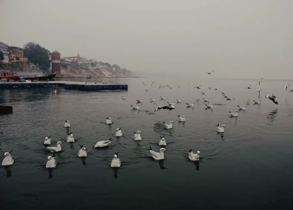
Ecologically, the Varanasi stretch of the Ganga supports aquatic biodiversity—including the endangered Gangetic River Dolphin (Platanista gangetica, India’s National Aquatic Animal, occasionally sighted in deeper channel stretches near Rajghat and the nearby Turtle Wildlife Sanctuary downstream)—and thousands of winter migratory birds (commonly called Siberian gulls by locals) that flock around boats from November to February. Under the Government of India’s Namami Gange Programme (National Mission for Clean Ganga), major sewage treatment plants (STPs at Dinapur, Goithaha, and Ramana), floating trash skimmers, mechanized ghat cleaning, CNG conversion of diesel boats, and eco-friendly gas/wood-efficient crematoria have been deployed to restore river water quality and riverfront cleanliness (Varanasi Ghats Book (Final).pdf, pp. 8–11).
C. Practical Visitor Information
Geographical Feature
Key Details & Visitor Impact
Coordinates & Elevation
25.3176° N, 82.9739° E; Average elevation: 80.71 metres (265 feet) above sea level (Varanasi UP tousim2.pdf, p. 81).
Riverfront Length & Orientation
Approx. 6.8 km crescent along the western bank of the Ganga, flowing south-to-north (Uttarvahini) from Assi Ghat to Adi Keshav / Namo Ghat.
Continuous Ghat Walking Window
Late October to June, when post-monsoon silt is cleared and water levels expose the connecting lower stone platforms across all 85 ghats.
Monsoon High-Water Period
July to September / early October; lower ghat steps submerge and continuous ghat-to-ghat walking is interrupted (use inland lanes or verify boat operations with district notices).
Opposite Bank (Eastern Sandbar & Ramnagar)
Accessible via Pontoon bridges (operational roughly Nov–May), Malviya Bridge (North), or Ramnagar-Samne Ghat Bridge (South); floods during monsoon.
Best Viewpoints of the River Crescent
Morning boat ride at mid-stream; rooftop of Man Mandir Observatory (Dashashwamedh); Malviya Bridge / Namo Ghat viewing deck; Ramnagar Fort riverfront bastion (VAR-033).
Responsible Ecology Advice
Never throw polythene bags, plastic bottles, synthetic garlands, or chemical soaps into the Ganga; use only biodegradable leaf cups (donas) with natural flowers for deepdan.
D. Frequently Asked Questions (FAQs)
- Why does the River Ganga flow north (Uttarvahini) in Varanasi?As the southeast-flowing Ganga passes Chunar and Ramnagar, it encounters a hard subsurface geological ridge of kankar (calcareous limestone conglomerate) along the western bank. This resistant bluff deflects the river sharply northward for nearly 7 kilometres between Assi Ghat and Rajghat before the river resumes its eastward course (Varanasi Ghats Book (Final).pdf).
- Why are there no historic ghats or old temples on the eastern bank of the Ganga in Varanasi?Geologically, the eastern bank opposite the old city is a low-lying alluvial floodplain (reti) that submerges completely during the annual monsoon floods (except further upstream on the elevated southern rocky bank at Ramnagar Fort). Additionally, in traditional Hindu sacred cosmology, the eastern sandbar lay outside the consecrated Avimukta Kashi Kshetra.
- Can you walk continuously along all the ghats from Assi Ghat to Namo Ghat?Yes, between late October and June—once the monsoon floodwaters recede and municipal crews clear the river silt—all 85 ghats form a continuous stone promenade that you can walk from Assi Ghat in the south to Rajghat and Namo Ghat in the north (roughly 6.5 to 7 km). During the monsoon (July–September), high water submerges the lower connecting platforms.
- What are the white birds seen flying around boats in Varanasi during winter?Every winter from November to late February or March, thousands of migratory gulls (primarily brown-headed and black-headed gulls migrating from Central Asia and Siberia) congregate along the Varanasi riverfront, adding a lively natural spectacle to morning and sunset boat rides.
- Have diesel boats in Varanasi been converted to eco-friendly fuel?Yes, under the Namami Gange and Varanasi Smart City environmental initiatives, traditional noisy, smoke-emitting diesel-engine boats have been systematically retrofitted with clean Compressed Natural Gas (CNG) engines (alongside electric vessels and traditional hand-rowed wooden boats) to reduce air and water pollution on the Ganga.
- Is the water of the Ganga safe for ritual bathing at Varanasi?Millions of pilgrims take a ritual dip (snan) daily at ghats such as Assi, Dashashwamedh, Kedar, and Panchganga. While sewage interception under Namami Gange has significantly improved river cleanliness (Varanasi Ghats Book (Final).pdf), visitors with sensitive health are advised not to ingest raw river water and may prefer sprinkling Ganga water over the head (achaman/prokshan) or bathing at upstream ghats like Assi or the eastern sandbar.
Choose your next chapter
Continue your journey
Temples of Varanasi
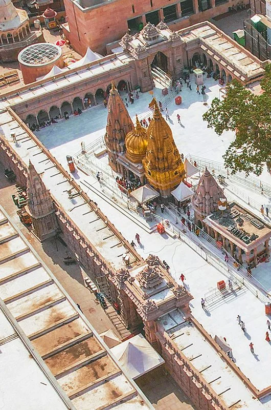
Varanasi's temples form a network of different deities, neighbourhoods and devotional practices. Kashi Vishwanath is a major focus, but smaller shrines reveal the diversity of the city's sacred life.
Explore guide →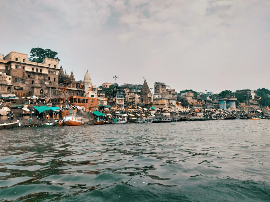
Ghats of Varanasi
The ghats are the city's meeting place with the Ganga: stepped river edges used for worship, movement, gathering and everyday work. They are connected, but each has a name and history worth learning.
Explore guide →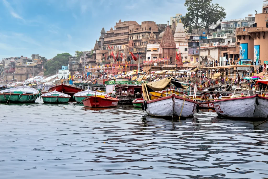
Things to Do in Varanasi
Things to do in Varanasi range from quiet observation to structured visits. The best selection depends on whether your interest is pilgrimage, history, culture, food or time beside the river.
Explore guide →No matching guides. Try a broader search.
Explore the Hinduism knowledge portal
A journey shaped around you
Plan your time in Kashi
Tell us your dates, interests and travel needs. Request a tailored proposal with clear inclusions before confirming any service.
Enquiry only · Availability and prices require confirmation · No payment is taken here