
Prayag Tourism · Temple
Bharat Mata Temple
Bharat Mata Temple is unusual because its central object is a relief map rather than the customary image of a deity. It invites reflection on geography, nationhood and the public culture of its period.
1. Introduction: A Temple Without an Idol, Dedicated to a Living Nation
In a city celebrated for thousands of temples housing stone lingams and anthropomorphic deities, one quiet sandstone pavilion on the campus of Mahatma Gandhi Kashi Vidyapith in the Sigra–Chanduapura locality of Varanasi stands completely apart. Step inside the Bharat Mata Temple (Bharat Mata Mandir), and instead of a traditional altar, priest, incense burner, or ringing bell, you look down from a circular viewing gallery onto a breathtaking, three-dimensional topographical relief map of undivided India (Akhand Bharat) carved to exact geographical scale out of white Makrana marble (Temples Of Importance | District Varanasi).
Built at the height of the Indian independence movement and inaugurated by Mahatma Gandhi in October 1936, Bharat Mata Mandir transforms the ancient Hindu concept of Tirtha (sacred geography) into an inclusive, non-sectarian tribute to Mother India—where every mountain peak, river valley, plateau, and ocean coastline from the Hindu Kush to Sri Lanka is revered as sacred soil (1760321416169VettedStoriesofKashi-SarnathPoIs.pdf, Entry 6).
2. Historical Background: Babu Shiv Prasad Gupta, Durga Prasad Khatri and Mahatma Gandhi (1936 CE)
The conception and creation of the Bharat Mata Temple belong to the golden chapter of Varanasi’s role in India’s freedom struggle (Temples Of Importance | District Varanasi):
- Vision of Babu Shiv Prasad Gupta (“Rashtra Ratna”): Inspired by the nationalist awakening of the early 20th century, philanthropist and freedom fighter Babu Shiv Prasad Gupta (who also co-founded the nationalist university Kashi Vidyapith in 1921 CE during the Non-Cooperation Movement) envisioned a temple where Indians of every religion, caste, and language could stand under one roof and behold the physical unity of their motherland (1760321416169VettedStoriesofKashi-SarnathPoIs.pdf, Entry 6).
- Directed by Shri Durga Prasad Khatri: The technical execution of the topographical marble map was entrusted to Shri Durga Prasad Khatri, a renowned antiquarian, numismatist, and scholar of Varanasi (Temples Of Importance | District Varanasi).
- Inauguration by Mahatma Gandhi (October 25, 1936): When the temple was formally opened on October 25, 1936, Mahatma Gandhi presided over the ceremony before thousands of freedom fighters, scholars, and citizens. Looking down at the marble map with no sectarian walls, Gandhi famously remarked that this cosmopolitan temple—containing no image other than the map of the country itself—should serve as a universal platform of national unity, peace, and patriotism (1760321416169VettedStoriesofKashi-SarnathPoIs.pdf, Entry 6).
- Poetic Tribute by Maithili Sharan Gupt: To mark the inauguration, India’s celebrated Rashtra Kavi (National Poet) Maithili Sharan Gupt composed a stirring Hindi poem on Bharat Mata, which remains inscribed on a display board inside the temple hall (1760321416169VettedStoriesofKashi-SarnathPoIs.pdf, Entry 6).
3. Engineering & Cartographic Marvel: The 762-Piece Marble Relief Map
What makes the Bharat Mata Temple an enduring marvel for students, geographers, and travellers is the extraordinary mathematical and sculptural precision of its central relief map (1760321416169VettedStoriesofKashi-SarnathPoIs.pdf, Entry 6):
- Six Years of Craftsmanship (1931–1936): A team of 30 master stone craftsmen and sculptors (led by head mason Madhavacharya and builders naming the five vishwakarma artisans on the pillar inscription) worked for six years to carve and assemble 762 interlocking square blocks of white Makrana marble (each measuring approximately 11 × 11 inches), achieving an overall map dimension of roughly 31 feet 2 inches by 30 feet 2 inches.
- Exact Horizontal and Vertical Scale: Every mountain range, river course, lake, and island was carved strictly to trigonometric survey scale:
- Horizontal Scale: 1 inch on the marble map equals 6.4 miles (approx. 10.3 km) on land (1760321416169VettedStoriesofKashi-SarnathPoIs.pdf, Entry 6).
- Vertical Elevation Scale: 1 inch of vertical relief equals 2,000 feet of altitude—meaning Mount Everest (Gaurishankar) rises over 14 inches high in sculpted marble, and visitors peering through a special ground-level viewing window set at ocean-surface level can visually compare the exact relative heights of the Himalayas, Karakoram, Vindhyas, Western Ghats, and Nilgiris (1760321416169VettedStoriesofKashi-SarnathPoIs.pdf, Entry 6)!
- Geographical Coverage of Undivided South Asia: Because the map was carved prior to 1947, it depicts the complete physical geography of the Indian subcontinent and surrounding regions—encompassing modern India, Pakistan, Bangladesh, Afghanistan, Baluchistan, Nepal, Bhutan, Tibetan plateau borderlands, Myanmar (Burma), and Sri Lanka (Ceylon), along with over 400 mountain peaks, sacred rivers (Ganga, Indus, Brahmaputra, Yamuna, Narmada, Godavari, Kaveri), and historical cities labeled in Hindi (1760321416169VettedStoriesofKashi-SarnathPoIs.pdf, Entry 6). Historically, during Independence Day (August 15) and Republic Day (January 26), the surrounding ocean channels of the marble map are filled with water and flowers to bring the miniature subcontinent to life.
4. Architectural Symbolism of the Five-Pillared Pavilion
The building housing the marble map—constructed in buff-and-pink Chunar sandstone by five workers whose names are recorded on the structure—embodies deep Vedic and philosophical numerology: five stone pillars rise from the corners to converge into a single upper dome, symbolising the five cosmic elements (Pancha Mahabhuta—Earth, Water, Fire, Air, and Ether) uniting into the One Supreme Reality.
C. Practical Visitor Information
- Location: Mahatma Gandhi Kashi Vidyapith Campus, Vidyapith Road, Sigra / Chanduapura, Varanasi – 221002 (Temples Of Importance | District Varanasi; Varanasi UP tousim2.pdf, p. 49)
- How to Reach: Located only 1.5 km south of Varanasi Junction (Cantt / BSB) Railway Station and ~3 km northwest of Godowlia. Easily accessible by cab, auto-rickshaw, or e-rickshaw right up to the campus gate.
- Best Time to Visit: Morning (9:30 AM – 12:30 PM) or Afternoon (2:30 PM – 5:30 PM). Special patriotic decorations take place on August 15 (Independence Day) and January 26 (Republic Day).
- Visiting Hours: Approx. 8:00 AM – 7:00 PM daily (Confirm seasonal caretaker hours on arrival).
- Entry Fee: Free for all visitors.
- Duration Required: 20 to 30 Minutes (Ideal first or last stop when arriving at or departing from Varanasi Junction / Cantt Railway Station or staying in Sigra/Cantonment hotels).
- Nearby Attractions: Mahatma Gandhi Kashi Vidyapith Campus (Adjacent), Varanasi Junction (BSB) Station (1.5 km), Sigra Stadium & IP Mall (800 m), Kabir Math & Lahartara (2.5 km).
- Visitor Advice: Ask the caretaker to point out the basement/ground-level horizontal viewing window so you can see the Himalayan peaks in eye-level relief, and read the inscribed poem by Rashtra Kavi Maithili Sharan Gupt on the wall (1760321416169VettedStoriesofKashi-SarnathPoIs.pdf, Entry 6).
D. Frequently Asked Questions (FAQs)
- What is inside the Bharat Mata Temple in Varanasi instead of an idol?Instead of a traditional deity statue, the sanctum of Bharat Mata Temple houses a massive, precision-carved 3D relief map of undivided India crafted from 762 blocks of white Makrana marble, showing mountains, rivers, plains, and oceans to exact scale (Temples Of Importance | District Varanasi).
- Who built and inaugurated the Bharat Mata Temple in Varanasi?The temple was gifted by nationalist philanthropist Babu Shiv Prasad Gupta, with the marble map constructed under the supervision of antiquarian Shri Durga Prasad Khatri, and was formally inaugurated by Mahatma Gandhi on October 25, 1936 (Temples Of Importance | District Varanasi).
- What is the scale of the marble map inside Bharat Mata Mandir?One inch horizontally on the marble map represents 6.4 miles on land, while one inch vertically represents 2,000 feet of elevation, allowing every peak of the Himalayas and Peninsular India to stand in accurate relief (1760321416169VettedStoriesofKashi-SarnathPoIs.pdf, Entry 6).
- How far is Bharat Mata Temple from Varanasi Junction (Cantt) Railway Station?Bharat Mata Temple is located on the Mahatma Gandhi Kashi Vidyapith campus in Sigra, only 1.5 kilometres (a 5- to 10-minute auto or cab ride) from Varanasi Junction (BSB) Railway Station.
- Is there any entry ticket or dress code for Bharat Mata Temple?Entry is completely free and open to people of all faiths and nationalities. Visitors simply remove their footwear outside the hall and observe respectful silence while viewing the marble map.
Choose your next chapter
Continue your journey
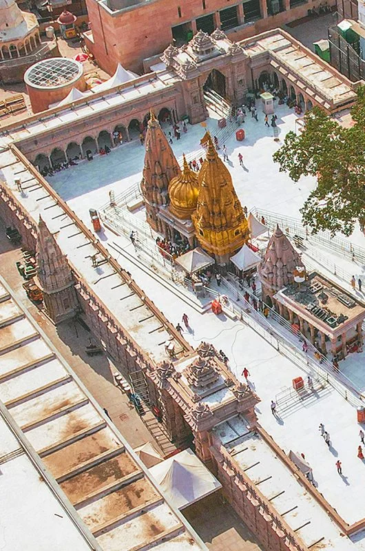
Temples of Varanasi
Varanasi's temples form a network of different deities, neighbourhoods and devotional practices. Kashi Vishwanath is a major focus, but smaller shrines reveal the diversity of the city's sacred life.
Explore guide →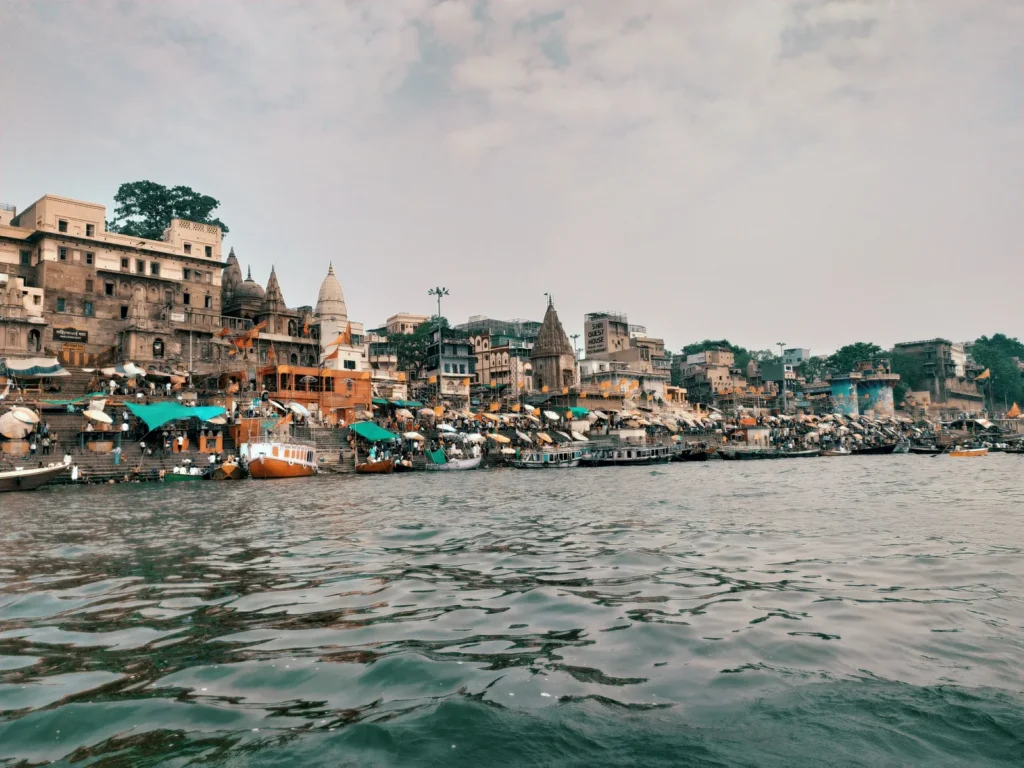
Ghats of Varanasi
The ghats are the city's meeting place with the Ganga: stepped river edges used for worship, movement, gathering and everyday work. They are connected, but each has a name and history worth learning.
Explore guide →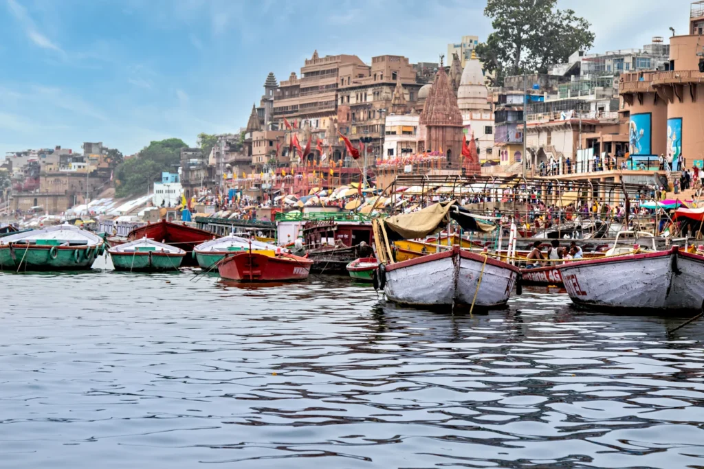
Things to Do in Varanasi
Things to do in Varanasi range from quiet observation to structured visits. The best selection depends on whether your interest is pilgrimage, history, culture, food or time beside the river.
Explore guide →No matching guides. Try a broader search.
Locate the area
Open a place-name search and confirm the exact venue and approach before travelling. No unverified coordinates or embedded tracking map are used.
Open map search: Bharat Mata Temple, Varanasi, Uttar Pradesh, India ↗Explore the Hinduism knowledge portal
A journey shaped around you
Plan your time in Kashi
Tell us your dates, interests and travel needs. Request a tailored proposal with clear inclusions before confirming any service.
Enquiry only · Availability and prices require confirmation · No payment is taken here